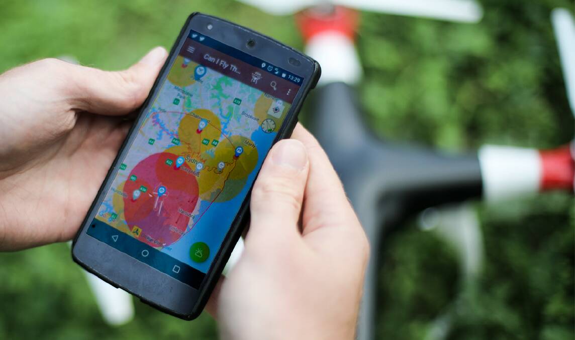
Illawarra drone users have been urged to ask themselves ‘Can I fly there?’ before sending their devices skyward.
Subscribe now for unlimited access.
$0/
(min cost $0)
or signup to continue reading
The Civil Aviation Safety Authority (CASA) has developed a new mobile phone app to help answer that very question – and ensure safety in the region’s skies.
CASA’s Can I Fly There app shows the operating conditions for very small commercial drones and provides situational awareness, via a map, for commercial and recreational users.
The app displays Illawarra locations where drones can’t be flown and others where they must fly with caution.
No fly zones, which are located around airports, are shaded red on the map.
Fly with caution zones – which include airstrips, helicopter landing areas and other areas where aircraft can operate at low altitudes – are shown in an orange shading.
Users will also see restricted and military airspace where drones can’t be flown.
CASA spokesman Peter Gibson said the restrictions were in place to prevent mid-air collisions with aircraft.
“With so many drones out there, and no sign of the numbers slowing down, it becomes very important people understand they’re sharing the air with other aircraft and they need to take the right steps to avoid colliding with other aircraft,” Mr Gibson said.
“The app really does the hard work for them.”
The app also features information about major airports, including satellite photos of runway layouts and whether airports have air traffic control services.
Can I Fly There is available in Android, iOS and web-based HTML5 versions.


